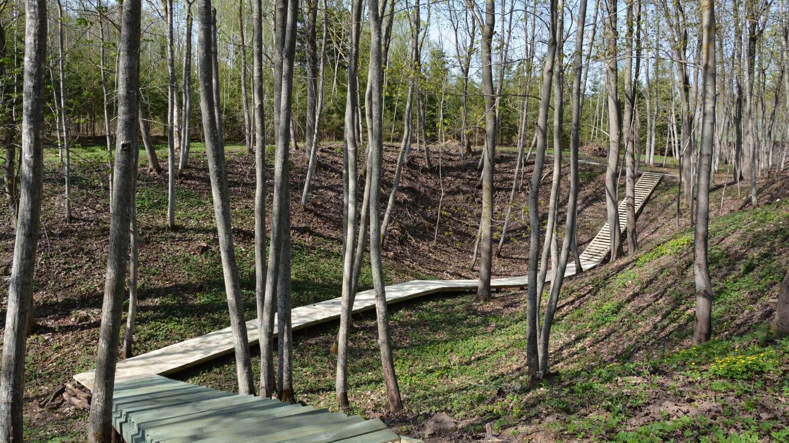
The path runs through Karajimiškis landscape reservation in Mantagailiškis-based "Gojelis" (Grove) forest.
The walking path runs through a 2.5 hectare area over a conflux ground surface. The total distance is 700 metres.
In spring of 2011, in the sinkhole area of Karajimiškis Landscape Reserve of Biržai Regional Park, where karst phenomena actively form the land surface, in Mantagailiškis "Gojelis" forest, at the foot of the wall of the north slope of a karst old sinkhole, between rock blocks, speleologists found a burrow leading to a cave. Shortly after the sinkhole, in which this cave was detected and in which the signs that testify to the presence of a badger in this place, was named Badger's Cave (Barsuko ola). The sinkhole consists of two connected sinkholes that are 32 m in length and 3.5 m in depth.
In autumn of 2012, a cognitive-geological path with a compacted soil pavement was built in the territory with an area of approximately 2,5 ha. The total length of the path is about 700 m. A sinkhole Geologists’ Hole (Geologų duobė) marks the beginning of the path. The path further leads through a sinkhole Fox´s Lair (Lapės ola), and after reaching the southwest outskirts of "Gojelis" forest the path “brings in” the visitors to a sinkhole area that is situated here, where a sinkhole Badger's Cave and other even larger and deeper sinkholes are located. The path continues to run to the north and leads along the sinkholes that are situated on the outskirts of the forest, then goes downhill through a karst remnant, arches one of the largest sinkholes and on the way back descends to another sinkhole, from which, after ascending between the smaller ones, the visitors once again return to the outskirts of "Gojelis". The visitors can overlook even 13 sinkholes from the path. Three of the sinkholes are more complex in shape. Two or three sinkholes that have opened earlier connect with each other in the pit of the preceding sinkholes.
Coordinates: 56.21005, 24.693173

Photo credit: Biržai Regional Park Directorate